Close this alert
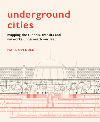
Underground Cities: Mapping the tunnels, transits and networks underneath our feet
Current price:
$40.00
Publication Date: September 22nd, 2020
Publisher:
Frances Lincoln
ISBN:
9781781318935
Pages:
224
Charter Books
On hand, as of Apr 28 6:07am
(Tech. & Engineering)
On Our Shelves Now
Description
With over 60 per cent of the world’s population living in cities, the networks beneath our feet – which keep the cities above moving – are more important than ever before. Yet we never truly see how these amazing feats of engineering work.
Just how deep do the tunnels go? Where do the sewers, bunkers and postal trains run? And, how many tunnels are there under our streets? Each featured city presents a ‘skyline of the underground’ through specially commissioned cut-away illustrations and unique cartography.
Drawing on geography, cartography and historical oddities, Mark Ovenden explores what our cities look like from the bottom up.
Praise for Underground Cities: Mapping the tunnels, transits and networks underneath our feet
“A fascinating dive into the monuments beneath our feet”
—John Gapper, Financial Times